Blog
Are Traditional Maps and GPS Obsolete?
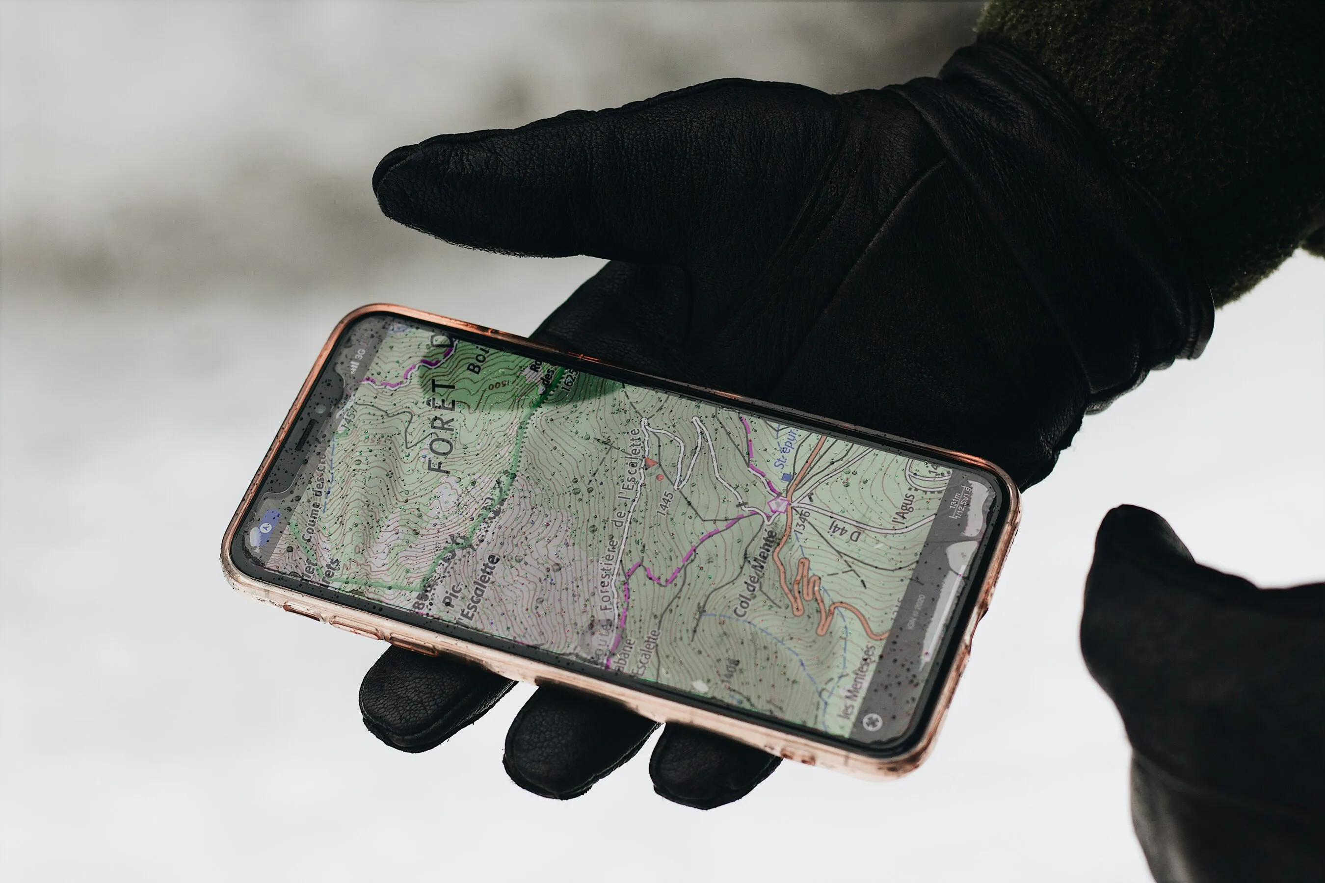
Your phone works as a GPS? There are lots of GPS apps that work on your smartphone and if you spend heaps of time in the backcountry, it's a no-brainer to get on board with the phone revolution.


For a small amount of money, you can not only have a great GPS but you also get the highest detailed maps for the whole of New Zealand. But there are pitfalls to watch out for. First of all, you have to download an appropriate app. If that seems daunting you better find a teenager to help you with the rest of this.
Pros of using your iphone
• It works!
What many people do not realise is that while data communication or phone reception is not available in the backcountry, your phone will still receive a GPS signal just the same as any GPS device. Before your trip, you can download whatever map you want into your phone and then even though you are out of data reception your maps are still working on your phone.
• It is cheap!
Ok, smartphones are not cheap but assuming you have one anyway….. In New Zealand, all digital maps are supplied free of charge on the internet so it is especially inexpensive here. No need to buy a different paper map for every new trip. No need to buy and carry an expensive dedicated GPS and altimeter, you have one already (and leave your camera behind unless you are an aficionado, have you seen the quality on the newer phones?).
• Big screen and easy to see.
If you are used to trying to decipher maps on a standard backcountry GPS device, using your phone you will find the colour and detail will jump right out at you Not only is my iPhone 6 screen twice as big as my old Garmin, but with a brush of my fingers I can enlarge features on the phone as large as I want. Of course, I don’t need this but some of you older geezers might find this a really useful.
• All the bells and whistles.
If you want any possible information on your route, it is all there. Speed, altitude and time profiles, ascent, descent, max speed…it goes on and on. For example, I see that on my recent ski tour from Big Mac to Pioneer Hut I was moving 1 hour and 52 minutes and I was stopped 1 hour and 29 minutes … hey, it was hot out! Many apps have a feature where if you take photos along the way and when you convert your route onto Google Earth on your home computer there will be a little symbol on the route and if you click on it, the photo you took at that spot will pop up.
Cons of using your iphone
• Battery life!
Constant use at low temperatures can drain your phone battery in a matter of a few hours. Depending on the type of trip you are doing this can be critical. For reliability an external battery is essential. External batteries come in all shapes and sizes, a small thumb drive size battery can be good for 1-2 recharges and a battery the size of a pack of cards will charge your phone, your iPod and your Go Pro so often that you will have little time to travel since you will be playing with your devices so much. There are many lightweight solar-powered chargers available but unless you plan on being gone for longer than a week, a rechargeable battery is probably more reliable.
• Water!
Using a phone in the rain or even heavy fog can ruin it. It might not crap out on you right then but these things do not like water and they WILL die if used in wet conditions. Luckily this is an easy fix since waterproof cases are easily purchased. Many phones are now coming with water resistance standard.
• Temperature.
I don’t know about other phones but my iPhone will shut down if the phone gets colder than 0 degrees C. This does not harm the phone and it will immediately start up as soon as it gets a little warmer but this can be a real drawback in cold conditions. Most navigation devices are only needed sporadically so keeping the phone buried deep in your clothing is a good fix. I wear mine around my neck and keep it next to my skin in cold temps. I can easily use it long enough to get my bearings or stay on route before needing to tuck it away again.
• Altitude.
Most phones are guaranteed to 3000m. This is a conservative figure but for something critical like navigation, it is best not to push the limit too far. While in some parts of the world this limit will make navigation impossible, for most places (like New Zealand), particularly on valley floors where most navigation occurs, 3000m will not be a problem.
• Over technology-ness.
Maybe it is not a word but you know what I mean. Increasing dependence on electronic devices has its dangers. If you forget the wire that attaches the battery to your phone or your phone dies or breaks, you will be left in the lurch. You can back up your systems with a GPS and maps but that is not much of a step forward in terms of cost and weight. However, if are willing to rely on the computer that controls your brakes and steering in your car without thinking about it, your phone is the least of your worries.
Which app to pick?
There are all types of apps to choose from and many are specific to certain activities like skiing, hiking or even surfing. Many GPS apps are free of charge but you can upgrade to a paid plan to take advantage of some additional great features such as different overlays. Some of our favourite map apps are GIA, NZ Topo, or FatMap which also integrates with Strava automatically!

Treks by Aspiring Guides

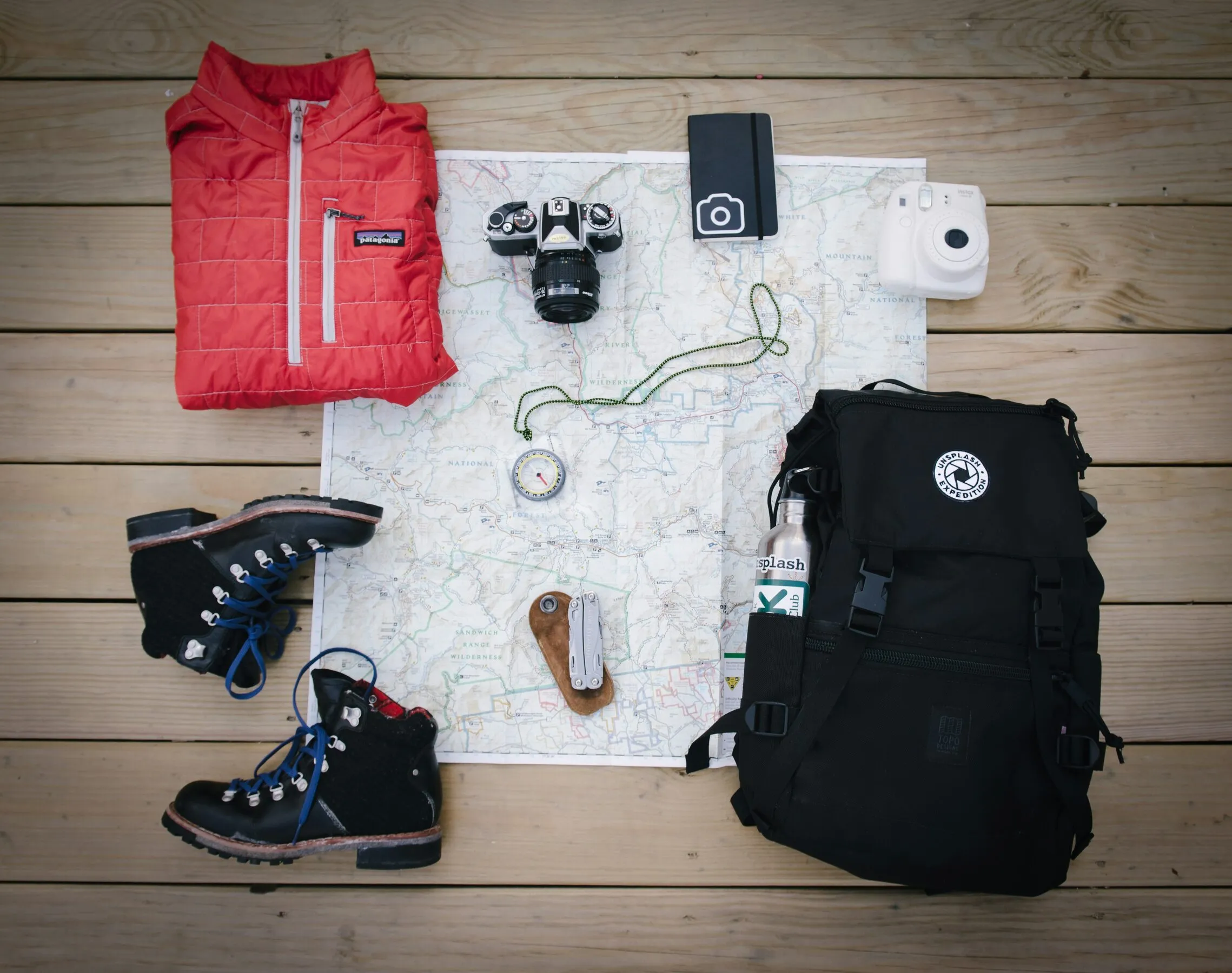
The Gear Room: Ski Trip Equipment Check
Our Top Trekking Picks for the 2024 Trekking Season
Trip Report: Spring Basecamp
Join the Aspiring Club Newsletter
We’re at our best when we’re scaling rock, ice and snow but we give this email thing a crack every so often (Monthly-ish). If you want to hear about new adventures and updates, then join our newsletter.


